Trending

On an island map, the road from the harbour to the beach can look like one confident line. Then you meet a blind corner, a lane wide enough for one car, and a village square where every route seems to be one-way. Island maps compress a great deal into a small space, and that is where many holiday drives go wrong. The good news is that most navigation mistakes are easy to avoid once you know what the map is really telling you.
A map scale tells you how far apart two places are. It does not tell you how long the drive will take. On an island, a road may bend around three coves, climb a ridge, pass through two villages, and narrow to a single lane before it reaches your destination. A short route on paper can take far longer than a longer route on a main road.
Plan by time, not by kilometres. If the map shows a road hugging the coast with several small settlements between you and your destination, assume those settlements will slow you down. Add time for photo stops, passing places, and the moment when a delivery van blocks the only lane through town. Do not schedule a tight ferry crossing after a beach stop unless you have left a generous buffer.
Road signs can help, but treat the distance on a sign as a minimum, not a promise. A sign saying the next town is eight kilometres away says nothing about the hairpin bends before it. When you look at your route, trace it with a finger and ask: how many villages, junctions, and narrow sections are between here and there? That simple check is more useful than a straight-line estimate.
Island maps often show a hierarchy of roads, but the difference between a main road and a minor road can be dramatic. A thick line may be a two-lane road that still feels narrow. A thin or dashed line may be a single-track lane with passing places, a steep farm track, or a road that ends at a beach with no turning space. Choosing a route just because it looks shorter on the map is a common way to spend twenty minutes reversing.
Check the map legend before you set off. Symbols vary between publishers, so do not guess. If a road is marked as minor, unlabelled, or shown with tight clusters of bends, expect to drive slowly. If you are unsure whether a road is paved all the way, ask at the rental desk, a local shop, or your accommodation. A quick question is better than a dented bumper.
The coastal road is usually the reason people came to the island. It is also usually the slowest way across it. Coastal routes pass through villages, run beside beaches, and attract pedestrians, cyclists, parked cars, and buses. In summer, a scenic road can turn a simple transfer into a stop-start crawl. The inland road may be longer on the map but faster in practice.
Use the map to compare routes rather than following the most attractive line automatically. If you need to reach a ferry port or catch a flight, take the more direct road and save the coast for a day when time is not pressing. A scenic loop that looks elegant on paper can become a tiring sequence of narrow passes and missed turnings. The coast road is best when you can stop, not when you are watching the clock.
Many island towns have old centres with lanes that were never designed for modern cars. A map may show a road running through the middle, but it could be pedestrian-only, restricted to residents, or part of a one-way system that makes no sense until you are inside it. Trying to drive to an exact address in the old town is one of the most reliable ways to start a holiday argument.
Instead, aim for the edge of town. Look for parking symbols, a signed public car park, or a ring road on the map before you arrive. Park once, then walk the last ten minutes. This is usually faster than circling, and it gives you a better first impression of the place.
Phone navigation is useful, but it is not a substitute for knowing where you are. Signal can disappear behind a hill or along a remote coast. Battery life drains quickly when the screen is bright and the phone is searching for a network. Worse, a rerouting app may send you onto a minor road that is not suitable for your vehicle, simply because it looks like a shortcut.
Download an offline map of the island before you leave your accommodation. Carry a paper island map as well, even if it stays folded in the door pocket. Mark your route, note the main towns along it, and save your parking spot and harbour as pins. If the phone fails, you still have a way to make a sensible decision. And if a local tells you a road is closed or difficult, believe them over the screen.
Before each day’s drive, spend five minutes with the map. Trace the route from start to finish. Note the towns you will pass, the junctions where you need to turn, and the parking area at the other end. Check whether the road is main or minor, and add time if it looks winding. If you are heading to a ferry, write down the crossing time and the last sensible departure from your starting point.
Keep the day loose enough to stop when the map shows a viewpoint or a small beach. Island driving rewards patience more than speed. The best route is not always the shortest one; it is the one that matches your time, your vehicle, and your confidence. A little map reading before you turn the key prevents most of the wrong turns, tight squeezes, and rushed arrivals that make island roads feel harder than they are.
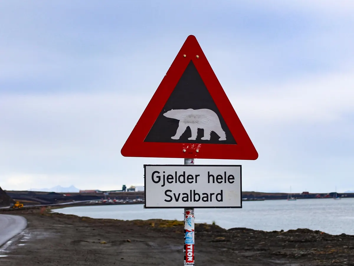
Photo: Noverodus / Pixabay