Trending

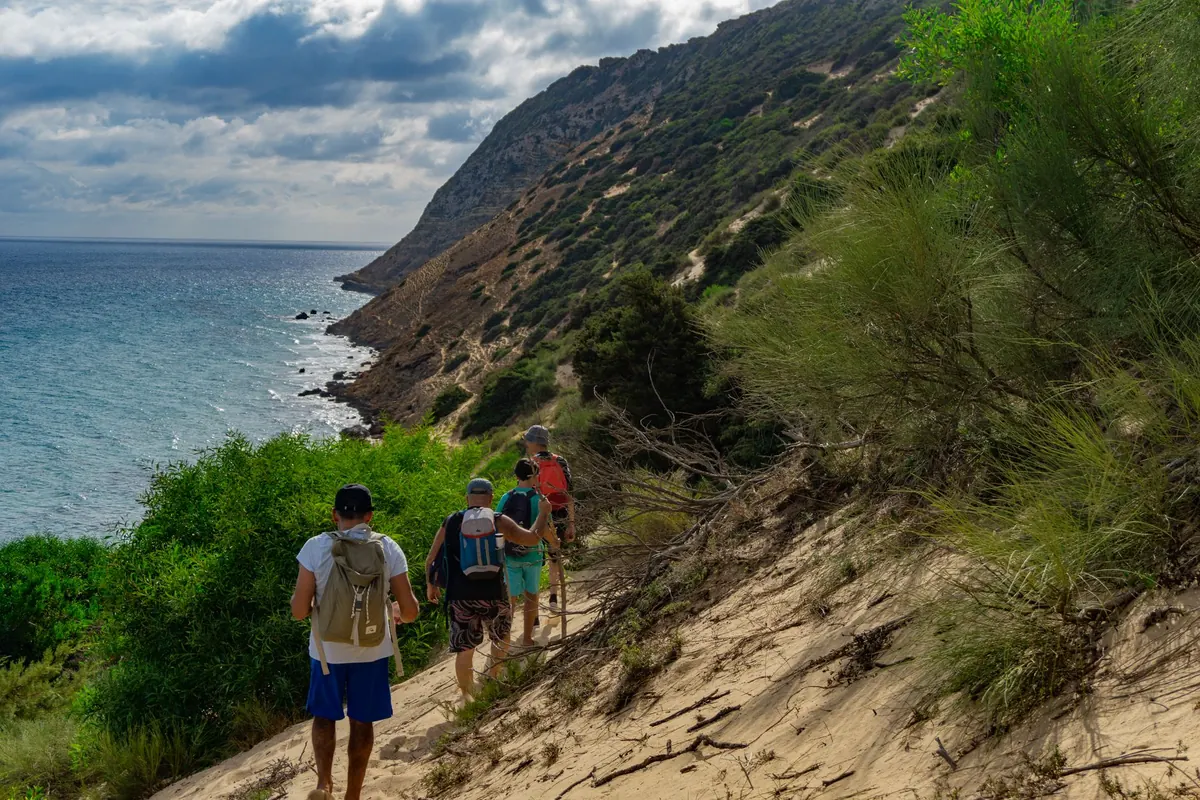
A trail map of a small island is a promise with an expiry date. The path drawn in confident red ink was surveyed in June; you are standing at its trailhead in late March, looking at a stream where the ink says "ford". Nothing on the paper is wrong, exactly. It has simply aged. Island paths are unusually sensitive to the calendar — a single ridge, a single spring, a single ferry can decide whether a route exists at all this week. Reading a map seasonally, rather than as a fixed document, is the difference between a good day out and three hours of pushing through scrub.
What follows is how the same network of trails reads in spring, summer and autumn, and what to check before you commit to a line on the paper.
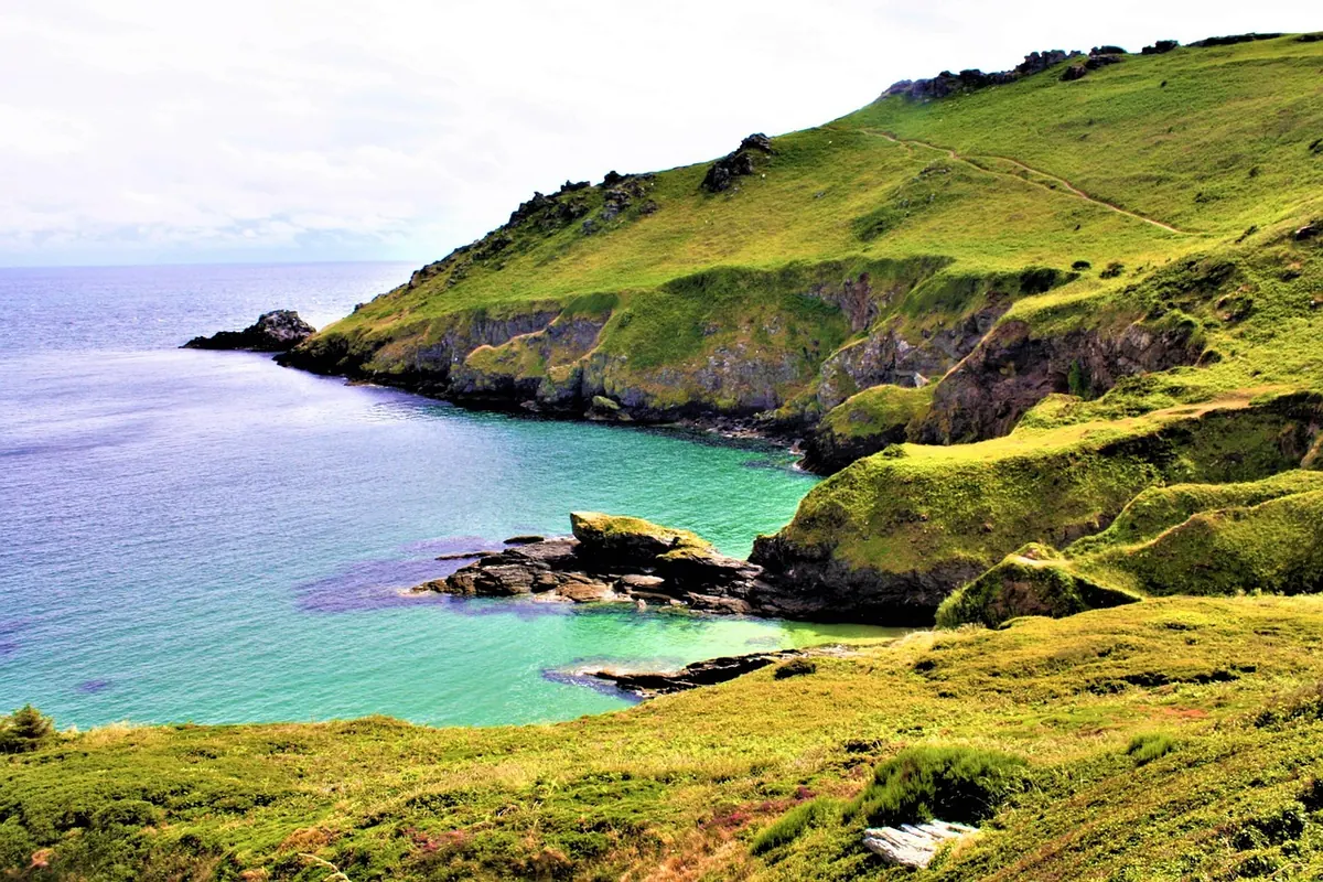
On the mainland, a closed path is usually an inconvenience: you drive to the next valley and walk there instead. On an island, the geography is compressed. One mountain, one coast, one road. If the cliff section is closed for nesting birds or the stream crossing has washed out, the alternative may be the whole route.
Add thin soil and exposure. Island paths are often cut into slopes where the topsoil is a few centimetres deep, so a winter of rain does more damage than it would inland. Markings are painted on rock and wood, which means salt, wind and frost get to them first. And almost everything depends on a boat: an early-season ferry timetable is a hard constraint on how far you can walk and still get home.
Spring is when the gap between the map and the world is widest. The map was probably drawn for the season when the route works — usually high summer — but in April the same trail may be a drainage channel. Expect the mapped ford to be knee-deep and fast, the boardwalk to be floating somewhere downstream, and the north-facing traverse to hold snow well after the south side has dried.
Markings are at their worst now. Winter storms strip paint and snap the posts that carried waymarks; lichen and moss colonise the rest. Grazing animals can help — herds often widen a faint path into something obvious — but they also leave it braided into a dozen muddy threads that all look equally plausible.
By June the trails are usually dry, the ferries run full schedules, and the map is at its most accurate. It is also at its most misleading, because vegetation has closed over everything the surveyor measured.
Bracken, gorse and bramble can swallow a two-metre-wide path in six weeks. Waymarks vanish behind scrub even where the paint is fresh, and the ground beneath the growth — loose stone, eroded edges, rabbit holes — stays invisible until your foot finds it. On islands with grazing animals, summer also means livestock on the path and gates left in whatever state the last walker chose.
Water is the other summer change. Springs marked on the map may be dry by July, especially after a light winter. Plan on carrying what you need rather than trusting the little blue symbol. Start early: island ridges and coastal plateaus offer very little shade between mid-morning and late afternoon. And if the island publishes fire-danger notices or seasonal access restrictions, read them on the day you walk — inland routes can close without anything changing at the trailhead.
Late September and October are often the best walking of the year on an island, and the reason is simple: the bracken dies back and the path reappears. Route-finding suddenly matches the map again, views open through thinning scrub, and the ground is firm after the summer dry.
The trade-offs are real. Daylight goes quickly — a route that took eight hours in June can take the same eight hours with two of them in the dark. Wet leaves and dew make rock slabs and wooden bridges genuinely slippery, which matters on coastal paths cut across sloping ground. The first autumn storms arrive, and each one takes a few more waymarks with it; late-season maps can be more optimistic about markings than the hillside is.
Autumn is also when many islands open hunting seasons on certain land. Check local notices for dates and areas, follow any signage, and wear something visibly bright where it applies. If you are unsure, ask at the harbour office or the local trail association — they will know which routes are best avoided this month.
Most of the useful information on an island map sits in the modifiers, not the main line. A dotted path — "indefinite" in the legend — might mean a faint but walkable sheep track in October and an unbroken wall of gorse in July. A spring symbol may be a reliable trickle in April and a damp patch in August. A seasonal ferry symbol can turn a comfortable loop into a there-and-back of twice the distance.
A map is a snapshot of someone else's day. Your job is to work out which of its assumptions still hold in the season you are walking.
Read the legend before you read the route. Note the survey date, the last revision, and whether the publisher says anything about seasonal maintenance. Older maps are not useless — the shape of the land rarely changes — but treat their markings and crossing points with suspicion.
Carry the paper map in something waterproof, plus a compass you can actually use, even if you usually navigate by phone. Batteries and screens fail in cold, wet conditions; wet print does not. Add a headtorch in every season — autumn days end faster than anyone plans for — and footwear with real grip for wet rock and mud.
Then make one last check on the day: tide times if your route crosses a causeway or a beach, ferry times, and any closure notices posted at the trailhead. Conditions on an island change within hours, and the noticeboard at the harbour is often more current than anything printed. If a path looks worse than the map suggests, believe the path. The map will still be there next season; the sensible decision is to be too.
Photo: olleaugust / Pixabay